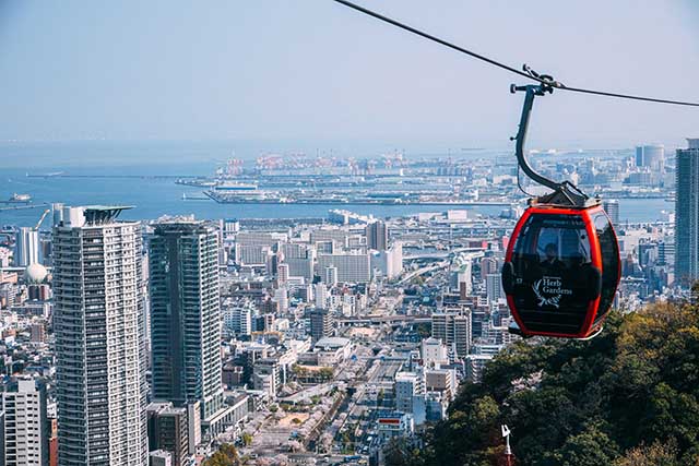
Mt. Rokko
A mountain famous for its night view and which has also been selected as one of Japan's night view heritages. The “10 million dollar nightscape” visitors can enjoy from the observatory at the top of the mountain in the evening is a must-see. The observatory is also artfully lit up at night, further enhancing the magical atmosphere. There are many facilities in the vicinity of the mountain for everyone from children to adults to enjoy, including a botanical garden, athletic park, and golf course; the Rokko Shidare Observatory in Rokko Garden Terrace in particular has become a new famous spot in the area.
Spot details


- Address
-
Hyougo Pref. Koubeshi Nada-ku Rokkousanchou Ichigatani

 Map
Map
- Course1
- Ashiya River Route: This is a direct route from Hankyu Ashiyagawa to Arima Bus Terminal via Kozanotaki falls, Fubuki rock, Honjobashi bridge ruins, and Mt. Rokko's highest peak. It gives a taste of everything: rock, falls, river and forest. You can have a meal at the teahouse just in front of Kozanotaki. From there on, there aren't any toilets until you get to the tea house at the summit (about three hours) so take care. After Kozanotaki, the trail enters a rocky area called the Rock Garden. Since it takes over an hour to reach the peak from Amegatoge Pass, we recommend a long break at there.
- Course2
- Takarazuka Route: This hiking path across Rokko takes you from Suma to Takarazuka, a route made famous by the Mount Rokko Longitudinal Course race. This particular trail leads from the goal point, Takarazuka Station, to the summit of Mt. Rokko and on to the Arima Bus Terminal. The hardest section is leading up to Shiobidera Temple, so once you've made it there the rest is just a gentle walk. You can also enjoy a lovely view of Mt. Iwakura, Takarazuka and Nishinomiya. Once you pass Mt. Ohira, you're finally around the halfway point. This longitudinal course has a lot of branches, but since it's quite popular it's well maintained and there's little fear of getting lost.
- Course3
- Mt. Higashiotafuku Route: This rout starts with a bus ride from Ashiya. Once you enter the Higashiotafuku trailhead, you cross Higashiotafuku and its waving bamboo grass toward the highest peak of Mt. Rokko. There are lots of gentle slopes, with some routes for hikers. The view from the top of Mt. Higashiotafuku, with its wide bamboo grass meadow, is nice as well, especially when the leaves change in fall and paint the mountains with color. It joins the Ashiya River route, and lots of people stop to eat their boxed lunches at the Amegatoge Pass plaza. The path down from the highest peak to Arima Onsen is a simple straight road. This hiking course cuts through verdant scenery, earning it the nickname Road of Sun and Green, and is perfect for forest immersion.
Information Sources: NAVITIME JAPAN
![[Hyogo/Kobe] Marine craft experience-Make a wonderful ‘photo frame‘ using gifts from the sea! Kids welcome☆彡](https://img.activityjapan.com/10/19180/10000001918001_uK5Dkbdv_4.JPG?version=1676618620)
![[Hyogo/Rokko] ROKKO Forest Sound Museum admission ticket ♪ (specified date)](https://img.activityjapan.com/10/43648/10000004364801_mcIjYGna_4.jpeg?version=1660035304)