Mt. Norikura
A mountain located at the southern edge of the Hida Mountains which has 23 peaks, seven lakes, and eight plains. The mountain's highest peak, Kengamine, is 3,026 meters tall. There are two roads which lead to the Tatami-daira plateau 2,700 meters above sea level—one on the Nagano Prefecture side which leads from the Norikura Plateau through Prefectural Route 84, and one on the Gifu Prefecture side which leads from Hirayu to the Nirokura Skyline. A shuttlebus can also be used to travel either route. Alpine flower fields sprawl in the vicinity of Tatami-daira and visitors can enjoy the sight of the beautiful flowers as they climb. The area is also a popular destination to enjoy fall foliage in autumn. It takes approximately one hour and 30 minutes to climb to the top of the mountain from Tatami-daira. At the top of the mountain you'll find a stunning view of the Hida Mountains.
Spot details

- Address
-
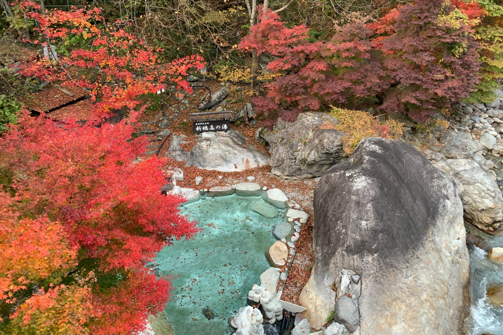
Gifu Pref. Takayamashi Nyukawachouiwaidani

 Map
Map
- Area
- Takayama Area
- Course1
- Unjo Trail: This trail leads from Tatamidaira up toward the Kengamine peak, then down to Kata no Koyaguchi bus stop. The trail climbs about 300 meters, and is 4.2 kilometers long. The key sight is, of course, Mt. Norikura's peak, Kengamine. The 360 degree panorama view from the peak is wonderful, with the towering peaks of Mt. Mitake, Mt. Yari, the Hotaka Mountains, and Mt. Hakusan. This view of heaven can be found only here, with alpine plants and unseasonal snow and the 360 degree of mountains and clouds. Taking the bus results in very rapid altitude changes, so please be careful of altitude sickness. The area between Kengamine and Kata no Koyaguchi bus stop is quite rocky, so rock falls are common.
- Course2
- Tenku Power Spot Trail: This trail leads from Kata no Koyaguchi bus stop down to Kuraigahara-Sansou Mae bus stop. The trail is about two kilometer one-way. Be careful of the rocky footing right at the beginning of the trail. This course offers a chance at spiritual power, taking you to see the stone monument Hotoku Reijin Ritual Spot set by the mountain's trailblazers, look down on the mountains through the valley, and seeing the view from the Konorisama Ritual Field. When you pass from the outlook point when coming down from the second trail, your view opens up to show Mt. Yari and the Hotaka Mountains. Depending on the weather, you might be able to see the mystical mountain waves of mist, or a sea of clouds near the road or Kuraigahara-Sansou village.
- Course3
- Cold Spring and Sunlit Tree Trail: This trail leads from Kuraigahara-Sansou Mae bus stop to a cold spring hut, the nameless waterfall, and through a path lit by sunlight through the trees, to Marishiten bus stop. The trail is about 2.5 kilometers long. Sights to see include the cold spring, which was once heated and used for curative baths for the sick, and its shrine to Yakushinyorai, deity of springs. The nameless waterfall, which only appears after rainfall, is also an important part of the scenery. Snow stays on the trail until late July, and as snowmelt and rain can fill the river, that's the time to walk this path. Don't forget to bring bear bells and the like.
- Course4
- Forest Immersion Course: This course lets you walk from Marishiten bus stop to Sanbondaki Bus Stop, showing you ancient stone buddhas, and the naturally carved Sanbondaki three-streamed water fall along the way. The trail climbs about 330 meters, and is about three kilometers long. The trail is separate from the roadway, so be careful not to go off course and get into trouble. Also be careful of tree roots at your feet. After you pass through the lily of the valley area and the Sanbondaki branching, be careful going down to the bridge because the footing is slippery. The Sanbondaki, one of Nagano Prefecture's famous sights, is considered one of Japan's Top 100 Waterfalls. The sight of the mist raised by these three streams converging is truly impressive.
Information Sources: NAVITIME JAPAN