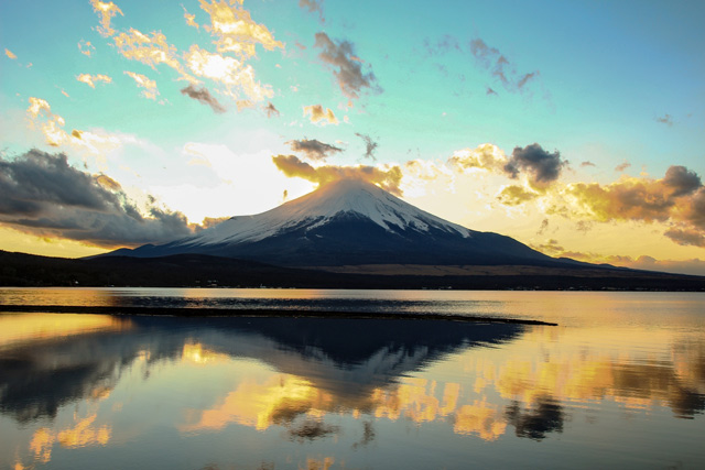
Mt. Fuji
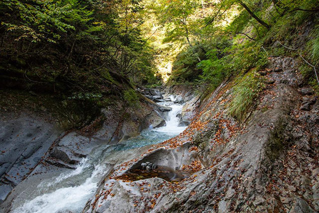
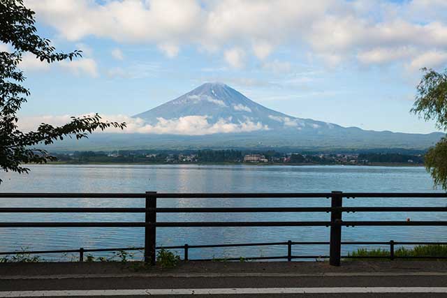
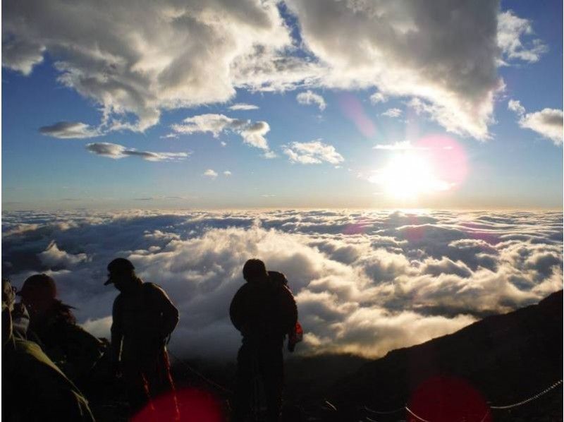
This is an elegant mountain which is certainly also a symbol of Japan, which is the highest mountain in Japan at 3,776 meters. Mt. Fuji is also often the theme of artistic inspiration such as Hokusai Katsushika: “Fugaku Sanjurokkei” (Thirty-six Sceneries of Mt. Fuji). Also, Mt. Fuji is also the place where the “Mt. Fuji faith” started and it is revered as a sacred mountain in which a deity resides. In 2013 it was registered with World Cultural Heritage as “Fujisan, sacred place and source of artistic inspiration”. There are four climbing routes including the Yoshida Route, the Subashiri Route, the Gotemba Route and the Fujinomiya Route. Since the opening periods vary depending on which mountain trail you choose, it is necessary to confirm in advance whether your intended route is open.
Spot details


Update date:2024.05.09
- Address
-
Yamanashi / Shizuoka prefecture

 Map
Map
- Course1
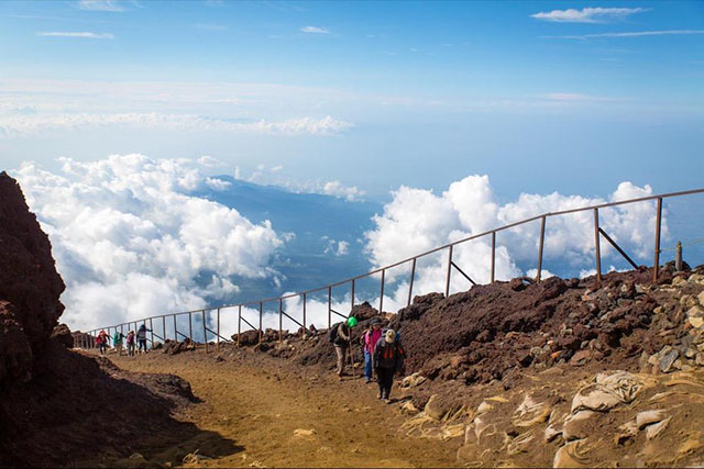
- Yoshida Trail: This is the main trail for beginners, with the greatest number of walkers. The maximum elevation is 1,450 meters, and the course is 14 kilometer round trip. It's also called the Lake Kawaguchi trail. There are lots of kiosks and mountain huts, it has a reputation for well-maintained gravel paths at the beginning. It joins with the Subashiri trail from the eighth station. The descent follows a different trail, so be careful not to miss one of the yellow trail signs. The trail is heavily worked to prevent falling rocks and landslides, so there is very little untouched natural mountain scenery. Private car restrictions are in effect. Trail Color: Yellow
- Course2
- Subashiri Trail: This is the recommended trail for those looking for relatively clear, slow climbs. The trail's maximum elevation is 1,700 meters, and is 14 kilometer round trip. The climb starts in a forested area, so it offers a good taste of more natural mountain climbing. The descent follows a fine sand path called Sunahashiri, so in the rare event of a tumble, there's much less danger than on rockier paths. There are very few large gradient differences so there is little worry about safety or exhaustion for those with children, or the elderly. It's important to bring masks to keep sand out of your nose and mouth, or some kind of gaiters to keep sand out of your shoes on the descent. Private car restrictions are in effect. Trail Color: Red
- Course3
- Gotemba Trail: This is a long, difficult course, best avoided by beginners. The route climbs 2,250 meters, and is 18 kilometer round trip. There are few climbers, and so there's no worry about traffic jams or full parking lots, but the distance is long so it's hard to complete without staying the night. There are no mountain huts below the seventh station, so it's best to bring some water and food, and start your climb early. The ascent and descent diverge for about half of their lengths. The trailhead elevation is low, and there are long stretches of monotonous scenery, but there are stretches of magnificent view that seem completely foreign to Japan. This trail has lots of repeat climbers. There are no private car restrictions. Trail Color: Green
- Course4
- Fujinomiya Trail: This is the second most popular trail after the Yoshida trail, leading the closest to Kengamine Fuji's highest peak. The trail climbs 1,300 meters, and is 8.5 kilometer round trip. The trailhead is the highest altitude, so the actual climbing trail is the shortest, and the slope is the steepest. Climbing it too quickly can easily lead to altitude sickness, so please use caution. The ascent and descent follow the same trial, and the trail can be narrow at some points, so you may have to wait for others to pass. If the weather permits, this trail offers a superb view of Suruga Bay and the incredible landscape of the Hoei caldera. It's overall quite rocky, and is geared toward experienced climbers. Private car restrictions are in effect. Trail Color: Blue
Information Sources: NAVITIME JAPAN
Articles about this spot
-
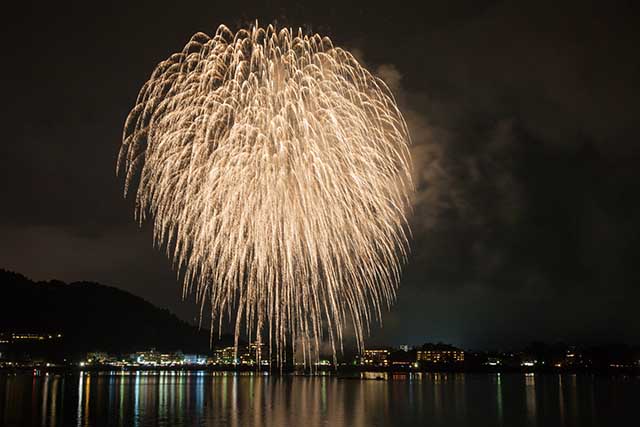
- Fireworks Festivals Take Over Fuji Five Lakes
- Japan | Festivals
-
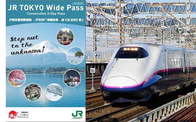
- Affordable travel in Kanto with the JR TOKYO Wide PASS
- Japan | Travel Tips
-
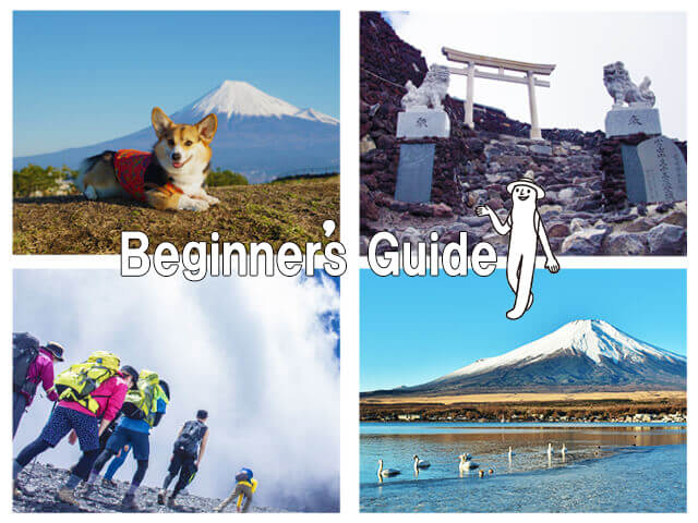
- Climbing Mt. Fuji: Beginner's Guide 2020ver
- Yamanashi | Mountain
-
- Best activities and spots around Mount Fuji
- Japan | Outdoor Activities
-
- Deep Japan: 7 of the Country’s Best Hikes
- Japan | Mountain
-
- Japan Mountaineering Guide
- Japan | Mountain
-
- The Sweet Side of Mount Fuji
- Japan | Sweets
-
- Where to Go in the Mount Fuji Area
- Japan | Best Things to Do
Itineraries about this spot
Access
Nearest spot
- NEARBY ACTIVITY -
-

- [Yamanashi ・ Fuji Yoshida】 Complete conquest course with Fuji mountain climbing and bowl visits! (Sign language correspondence)
- Yamanashi | Mountain/Nature Activities
-
- [Mt. Fuji/Mt. Hoei] Climbing Mt. Fuji is not just about aiming for the top of Mt. Fuji! The impressive ‘Mt. Fuji Hoei Crater Tour 2024‘
- Shizuoka | Mountain/Nature Activities
![[Mt. Fuji/Mt. Hoei] Climbing Mt. Fuji is not just about aiming for the top of Mt. Fuji! The impressive ‘Mt. Fuji Hoei Crater Tour 2024‘](https://img.activityjapan.com/10/31015/10000003101501_zNLueXk7_4.jpg?version=1685614803)